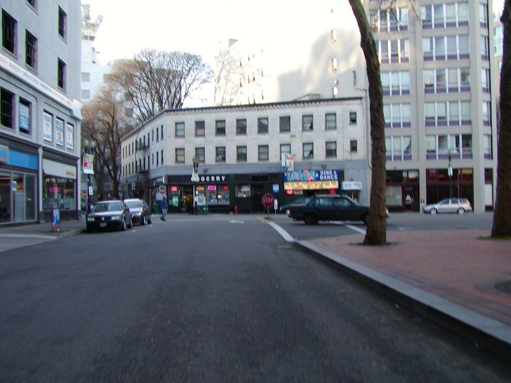
 Ok, so here's the promised part 2. When we left off, I was crossing the Hawthorne Bridge. This picture here shows me after crossing the bridge and heading towards OMSI - the Oregon Museum of Science and Industry. OMSI is built into an old PGE powerplant.
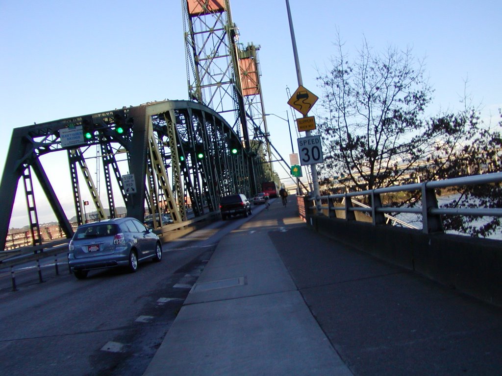
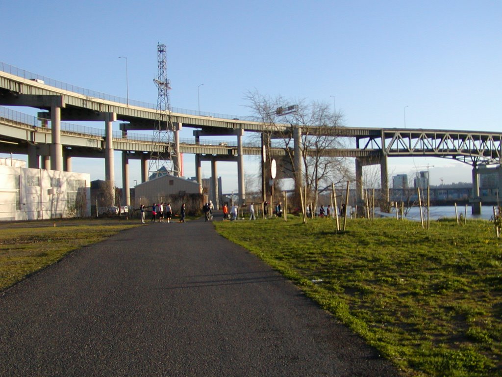
That bridge is the Marquam Bridge, where I-5 crosses from the east side of the Willamette River to the west side. The bridge is double-decked - the lower deck is I-5 South, the upper deck is I-5 North. The line of people walking across the path are a bunch of rowers. On most days with nice weather like this (even if this day was a bit cold), you can usually see at least one rowing team out on the river.
 OMSI is also home to the USS Blueback (SS-581), the last diesel submarine in the US Navy before it was decommissioned in 1991. The submarine was given to the museum in 1994 and is a permanent exhibit.
The Blueback was the submarine used in the film "The Hunt for Red October" for certain scenes with the USS Dallas, including the "emergency blow" scene where the submarine comes up out of the water.
I turned the camera a bit to get the pic of the submarine. You have to watch out in this area because during the nicer parts of the year there can be a lot of kids in this area.
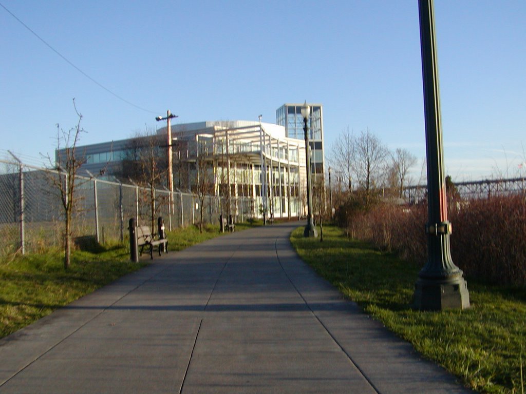
 After OMSI is the home of the Portland Opera. This building used to be the television station KPTV (Channel 12) until about a year ago. I didn't even know the TV station was moving - just all of a sudden it was gone, and the Portland Opera had moved in.
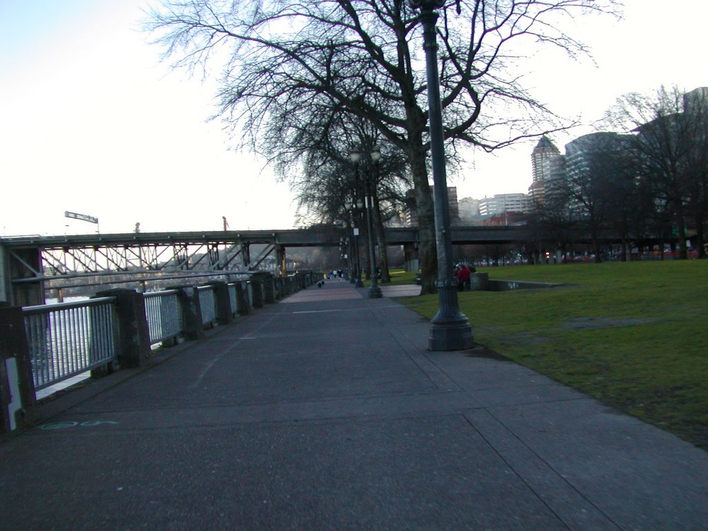
Right after the Opera the sidewalk makes a sharp left turn near the Portland Spirit dock and dumps you into a cul-de-sac in an industrial area near the railroad tracks. This is the first of several "gaps" in the Springwater Corridor, which starts at the Eastbank Esplanade (basically at the Hawthorne Bridge) and ends in Boring.
 No, I'm not making that up - Boring, Oregon. It's a small town 4-5 miles out past Gresham. The path continues as a bike line on the road from the Opera's offices towards the railroad tracks of the Oregon Pacific Railroad. Just before the tracks, I turn right towards the Ross Island Sand & Gravel cement plant.
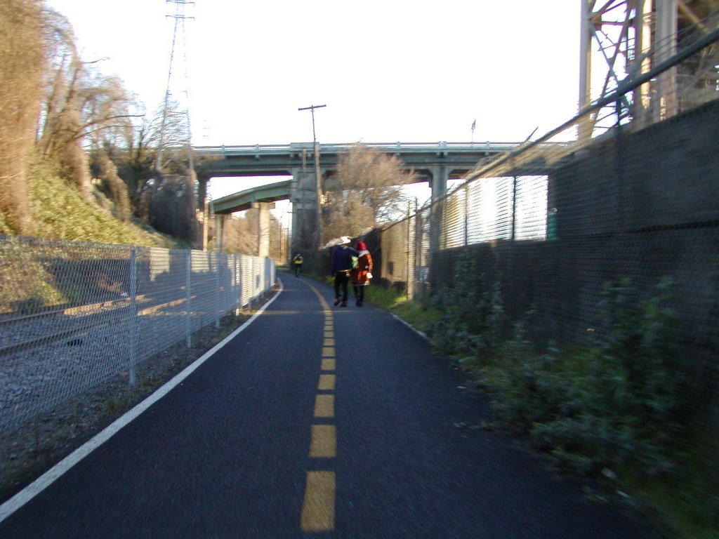
You won't see it here, but there is a sign proclaiming the start of the Springwater Trail. (You can actually see one of the posts holding up the sign in the next photo. The sign always reminds me of the sign for Jurassic Park.
 I've never liked riding by the cement plant (off to the right of this photo). It's smelly, it's noisy, and there's frequently grit in the air and stuff spraying over the path. The path runs between the plant and the railroad tracks. Fortunately the plant only extends 100 yards or so. way off in the distance here is the Ross Island Bridge, where Powell crosses the Willamette.
One nice thing about the Springwater Trail through this area is that the road surface is brand new and smooth. Since our winters are so much milder than my former home state of Michigan, it also has no potholes.
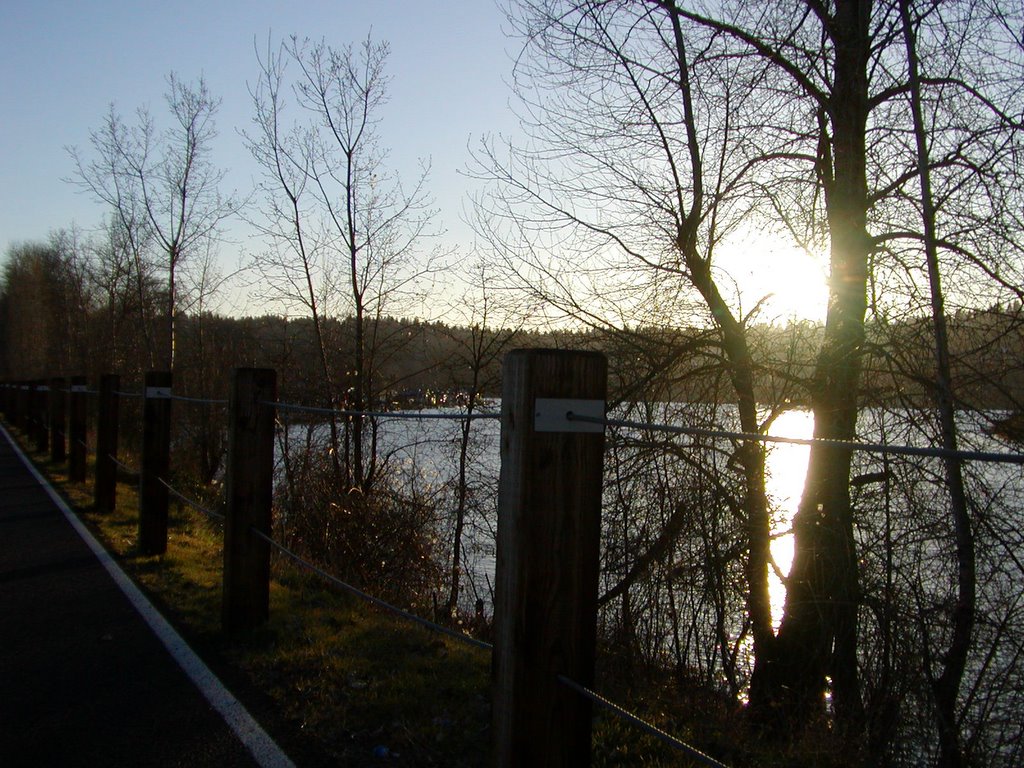
 Here's what most of the Springwater Trail looks like - long, straight, and NO CARS. No crossings to have to worry about. Great views of the river, too. This is the segment where Tomas sometimes breaks off in a sprint. After this point, the trail turns through a gentle "S" curve past the operations of Ross Island Sand & Gravel.
Once past Ross Island S&G, the wetlands start. If you come through later than this, after the sun sets, the noise of all the frogs can get almost deafening.
 Ok - here I am, in my dorky riding outfit. I don't have a spare $500 to drop on cycling clothes right now, so I have an eclectic mix of equipment.
I'm wearing my balaclava, because it's cold out. Also my bike helmet and my climbing headlamp. You can't see the rest of it, but I'm also wearing thermal underwear, a T-shirt, a sweatshirt and a fleece vest, plus sweat shorts and sweat pants. Remember, it's something like 30 degrees out, and in the 20s with wind chill.
Yeah, even 250 pounds doesn't insulate well.
 Sunset over the Willamette as old Sol starts to sink below the ridge of the western hills. Along the river in the background are a bunch of houses on the water. There are a number of waterbourne housing communities on both the Willamette and the Columbia. I don't know exactly why people buy these with the risk of a repeat of the 1996 floods and the drought from a few years ago lowering the river level to the point where the houses almost settled on the river bottom. (which, BTW is bad - it can crack the centerbeam of the house, or the keel or whatever they call it on those)
 We're well past the Oaks Bottom Wildlife Refuge trail at this point, and approaching Oaks Amusement Park, now 100 years old and the last remaining of 7 original amusement parks around the city.
At this point the trail starts to slope gently upward, and my speed which until now has averaged about 13-14 mph drops down to 10 or less over about a 1/4 mile. We're now almost 3 miles from the start of the Springwater Trail at the cement plant. Oaks park is where Portland's steam locomotives were kept before restoration.
 Ahead is the Sellwood Bridge, the southernmost of Portland's bridges across the Willamette River. The Sellwood is a really old bridge in poor condition. Recently truck traffic was restricted and the busses had to be re-routed. The bridge has too many cracks, and ODOT is debating whether to reconstruct it or build a new one. The Sellwood Bridge was built in 1925, and links Portland's Sellwood neighborhood with southwest Portland (the John's Landing area) and Lake Oswego (a prosperous Portland suburb). After passing under the bridge, the trail path abruptly ends and dumps us into the Sellwood neighborhood.
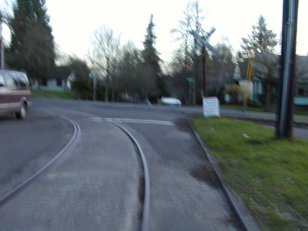 And through the neighborhood demonstration project on SE 8th and onto this stretch of street.
This street trackage is where I had my recent accident, a week or so before this photo was taken when it was dark and raining. Where the tracks curve left is the road I take out to 17th. When I had to cross the tracks again I was at too shallow an angle and fell. Fortunately it was cold and raining at the time, so I had three layers of clothes, including my rain gear, and leather gloves. I was slightly bruised, but no cuts, scrapes or abrasions.
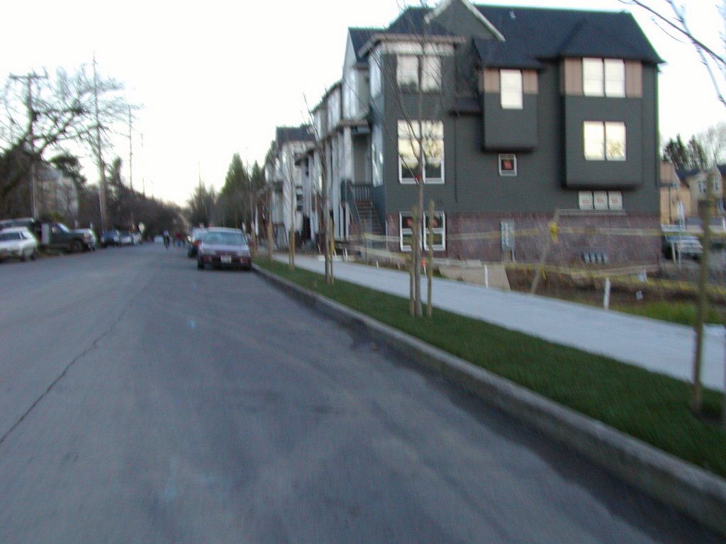 Here is where the old trolley car barn was located. It's now being turned into condominiums. I keep riding down this lightly trafficked street until I get to SE 17th Avenue. Turning left on 17th I cross the railroad tracks and head past the warehouses of north Milwaukie.
I wanted to show a couple pictures of downtown Milwaukie, but it was getting too late in the day and my pictures were getting blurrier. On 17th we lose all the altitude we gained in Sellwood. The Springwater trail averages about 40' above sea level. In Sellwood, we climb up to about 120'. On 17th we then drop back down to 40' again and end up at this intersection:
 SE 17th and McLoughlin.
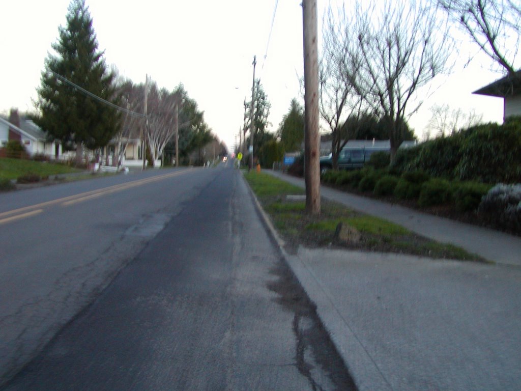
At this point, 17th is 2 lanes and makes a sharp turn from south to east. We're now facing east and I'm waiting my turn to cross. The right lane is right turn only - I am in the left lane, which goes either left or straight. Once the oncoming traffic gets its red light I'll have my green. From here it's a short ride through Milwaukie to Lake Road, which runs uphill again, gaining 60' or so before the intersection with Oatfield.
On Oatfield, the road drops sharply down to Kellogg Creek (about 35' above sea level) and then goes sharply (a 10% grade) up 150' to where it meets with Park Ave. I don't like crossing Park because there's always a lot of traffic there and I'm always moving at a very low speed and usually out of breath. One day I'll be in better shape and it hopefully won't bother me as much.
After Park the road levels out and continues on a couple of miles past Courtney, Oak Grove, Concord and Theissen. After that, is....
Home. Kind of blurry, but there you are.


